
Severe Thunderstorm Warning for Southern Ontario This Thursday |
Tornado warning and large hail storm conditions expected across the region |
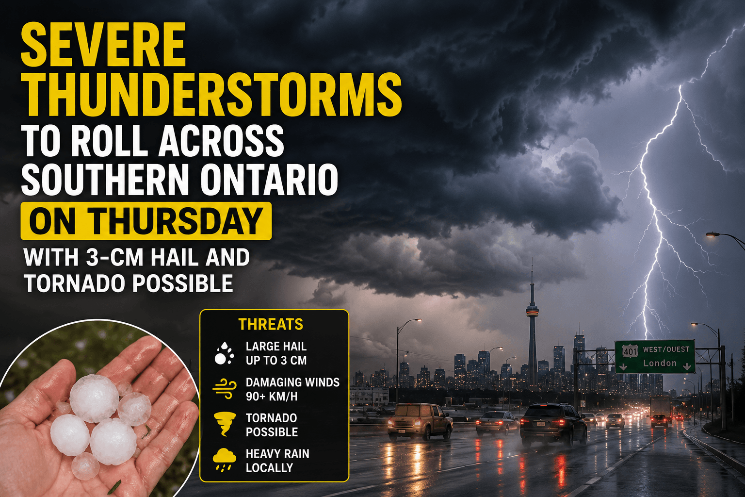
Southern Ontario residents are waking up to an urgent and deeply unsettling weather reality this Thursday, as a severe thunderstorm warning blankets the region with the threat of tornadoes, destructive winds, and a dangerous large hail storm.
Environment Canada has placed much of southwestern Ontario under active alerts, with conditions deteriorating rapidly as the afternoon unfolds.
A powerful weather system is tracking across the Great Lakes corridor, pushing an unstable air mass deep into the heart of southern Ontario and setting the stage for one of the more threatening storm setups the region has seen this season.
The timing could not be more concerning — storms are expected to intensify during peak afternoon hours, catching commuters and outdoor workers completely off guard.
Tornado warnings have already been issued for communities stretching from Sarnia and Lambton County through to the London area, with funnel cloud sightings reported by alarmed residents near Glencoe.
Officials confirmed that wind gusts could reach up to 90 km/h during the most intense cells, with the large hail storm threat producing hailstones as large as a toonie in the hardest-hit zones.
What makes this event particularly alarming is how rapidly conditions are evolving — isolated thunderstorms forming over Lake Huron are expected to merge into a more organized and destructive line as they push eastward through the evening.
Communities along the Highway 401 corridor, from Windsor through London and toward the Greater Toronto Area, are all sitting within the storm's projected path and should remain on high alert throughout the afternoon and evening hours.
Localized flash flooding is also a concern, as heavy downpours may cause water to pool quickly on roads and in low-lying neighbourhoods across the region.
Residents are urged not to wait for the storm to arrive before taking action.
Officials advise anyone caught outdoors to seek shelter immediately in a basement or interior room of a sturdy building, away from windows, and to secure any loose objects that could become dangerous projectiles in high winds.
June has already proven to be an exceptionally active month for severe weather across southern Ontario, with multiple rounds of tornado warnings and confirmed wind damage events recorded in recent weeks.
This Thursday's storm system underscores a troubling pattern of increasingly intense weather events gripping the region as summer heat and atmospheric instability collide with greater frequency.
Residents should monitor active weather alerts closely and avoid all non-essential travel until the severe thunderstorm warning and tornado warning conditions pass through the region entirely. |
0 Comments
Join the conversation
Be the first to comment
Share your thoughts above.